Survey the retained profile
Spot heights and sections are more useful than a single maximum dimension. They show tier interaction, cut-and-fill geometry and where the design case changes.
Wandana Heights · 3216
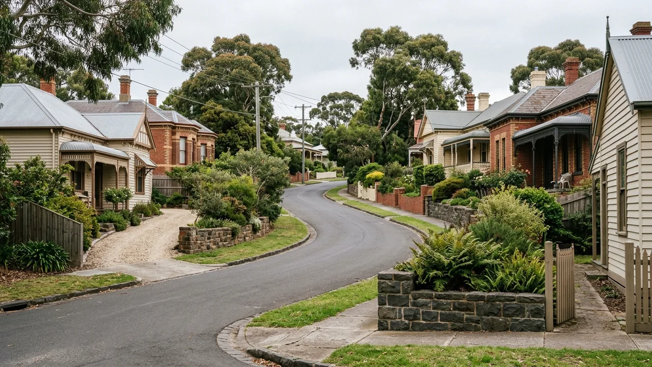
Wandana Heights occupies pronounced slopes above the city, where cut-and-fill, taller retention, driveway surcharge and construction access can move a project into engineered territory.
Start with the wall system
Wandana Heights contains pronounced slopes where retaining work can support cut-and-fill platforms, driveways and buildings overlooking the city. These projects need measured levels, surcharge information and a safe construction sequence before a wall type is chosen. A tall or interacting system may require geotechnical evidence, engineering and permit advice, while online content can only help organise the questions.
Show the full hillside relationship from Wandana Drive, Cityview Drive or Grosvenor Drive access to the proposed wall. Record the uphill catchment, downhill consequences, driveway grades and available working benches. Identify known fill and old retaining elements, but leave ground classification and stability conclusions to the relevant qualified professionals.
Settle these before the quote
Spot heights and sections are more useful than a single maximum dimension. They show tier interaction, cut-and-fill geometry and where the design case changes.
Removing a wall on a steep site can expose soil supporting paths, fences or structures. The demolition sequence and temporary works need explicit design responsibility.
Water approaching from a broad slope can exceed the immediate wall trench. Surface interception and subsoil drainage must be coordinated with a lawful endpoint.
About Wandana Heights
From Drewan Park and Wandana Heights Reserve to Barrabool Hills, local routes help explain delivery and neighbourhood context. The wall itself still needs measured levels, loading and water observations.
Drewan Park, Wandana Heights Reserve and the Barrabool Hills reflect the area's elevated setting, yet a view or street name does not define the engineering. Sites along Wandana Drive, Cityview Drive and Grosvenor Drive vary in cut, fill, driveway position and downstream exposure. A useful pre-construction package includes survey information, load locations, drainage pathways and access constraints. It makes temporary works, spoil handling and design deliverables visible. That package also helps prevent a material-first conversation from overlooking the decisive issues: the retained soil profile, the structures relying on it and the consequences of excavation.
Field record
Photograph property, public areas and access below the wall so risk and protection needs can be reviewed.
Measure level areas for machinery, cranes, concrete and materials. Do not assume a steep driveway is a usable construction platform.
Attach subdivision, engineering or compaction records if held. Their date and relevance still need confirmation for the current work.
Why this process helps
Measured sections and loads drive the brief on steep ground.
Temporary support and downhill protection are allocated before demolition.
Engineering and permit decisions remain with property-specific qualified professionals.
Compare the project path
Prepare the handover
Send wide photographs from above and below, plus a side view that shows the slope. Include wall lengths and heights, driveway and building distances, the uphill water catchment and the proposed material route. Attach surveys or engineering records if available. If movement looks active or the wall appears unsafe, keep clear and seek prompt site-specific professional advice rather than waiting for an online quote.
Prepare a Wandana Heights wall brief
Bring the wall, water and access details together
Your measurements, photographs and records help the right assessment questions surface early.