
Investigate ground history
Imported fill, disturbed soil and variable near-coastal ground can alter the design basis. The scope should state what geotechnical or engineering information is required rather than assume standard founding.
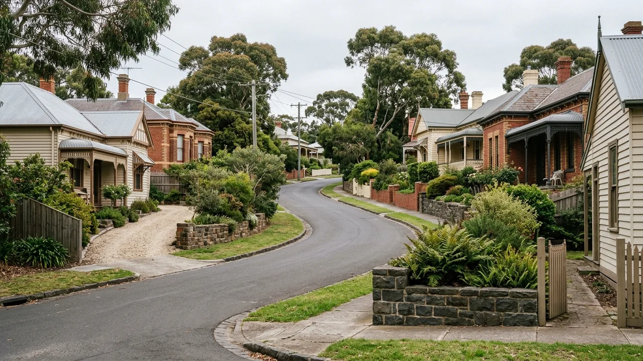
Moolap · 3224
Moolap mixes residential edges, rural land and former industrial areas, so site levels, soil conditions, buried services and water movement require property-specific investigation.
Start with the wall system
Moolap spans residential edges, rural parcels and land with former industrial uses, so a postcode cannot tell a retaining-wall contractor what sits below the surface. The project needs a property-specific record of levels, soil evidence, fill, services, vegetation, water movement and access. Those inputs come before a material or footing assumption, particularly where the wall is long or machinery must travel across open ground.
Explain the route from Bellarine Highway, Moolap Station Road or Point Henry Road, then document the private track, gate width, overhead clearance and ground bearing conditions. Identify dams, drains, low areas or seasonal wetness and show how the wall relates to buildings, driveways, stock routes or large trees. Note any known history of fill or prior site work without presenting recollection as verified fact.
Settle these before the quote
Imported fill, disturbed soil and variable near-coastal ground can alter the design basis. The scope should state what geotechnical or engineering information is required rather than assume standard founding.
A wide-looking site can still have soft access, long haul distances or no clean place for spoil. Map delivery, storage, concrete and waste routes before choosing the system.
Surface catchments may be larger than the immediate garden bed. Show upstream ground and downstream discharge so the wall drainage is not designed in isolation.
About Moolap
From Moolap railway station site and Bellarine Rail Trail to Point Henry Road corridor, local routes help explain delivery and neighbourhood context. The wall itself still needs measured levels, loading and water observations.
The Moolap railway station site, Bellarine Rail Trail and Point Henry Road corridor illustrate how varied the surrounding land use can be. That variety makes confident suburb-wide soil or contamination statements inappropriate. A residential wall near Moolap Station Road still requires the same measured fundamentals as one elsewhere: retained height, total length, loads, access, water and boundaries. It may also justify more explicit investigation of ground history or disposal. The brief should identify those unknowns before a fixed-price comparison is attempted. Where testing or design is needed, the responsible professional and deliverable should be named so that each tender includes the same basis.
Field record
Record substantial trees, root zones and vegetation removal needs. Their influence and protection requirements need qualified assessment.
If excavation may encounter old fill or debris, put testing, classification and disposal responsibility into the quote assumptions.
Open and coastal conditions can influence corrosion protection, curing and construction planning. Ask for the selected system's exposure assumptions.
Why this process helps
Ground history and disposal uncertainty stay visible instead of being hidden inside a standard rate.
Open-site logistics are mapped from public road to final work face.
Structural, drainage and environmental questions are routed to the relevant evidence and professional.
Compare the project path
Prepare the handover
Send broad photographs showing the wall in its landform, then closer views of the face, ends, drainage and access. Include approximate dimensions, upper-ground uses and any known easements or services. Mention previous excavation, imported fill or unusual buried material as unverified history unless records are available. That honest uncertainty is more useful than a guessed soil description and helps the project team plan the right investigation.
Prepare a Moolap wall brief
Bring the wall, water and access details together
Your measurements, photographs and records help the right assessment questions surface early.