
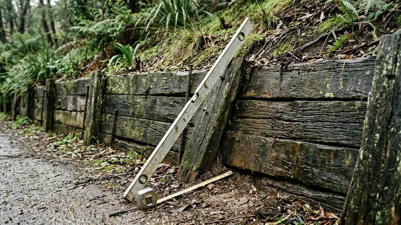
Retaining Wall Site Assessment site and construction detail

Measured before specified

Retaining Wall Site Assessment for Geelong properties

A useful site brief brings together wall dimensions, retained levels, water signs, nearby loads and access before a material or repair path is chosen.

Start with the site

Retaining wall Geelong questions this service clarifies

A retaining wall site assessment is useful when the visible face does not explain the whole project. The wall may be leaning, holding water, supporting a fence or driveway, or still exist only as a proposed change in level. The first discussion should organise what can be observed and measured without pretending to replace a survey, engineering design or permit decision. Photos from above and below, approximate length and exposed height, the ground beyond both ends, any upper-ground loads, the boundary relationship and the route from the street help reveal what needs specialist attention. This service differs from a material page because it keeps the system choice open until the site questions have been made explicit.

Three project decisions

01

Record the complete retained profile

Measure the exposed wall at several points and show the ground continuing beyond the frame. A short section sketch can reveal terraces, steep upper ground and changes in height that a single front-on photograph hides. Note fences, driveways, sheds, paths and buildings close to the retained edge because these are relevant loads and constraints, not background decoration.

02

Separate symptoms from causes

Leaning, bulging, cracking, rot, corrosion, soil loss and persistent wetness are valuable observations. They do not prove why the wall moved. Record when the symptom appeared, whether it is changing and what happens after rain, leaving cause and remedy to the appropriate site-based assessment.

03

Identify the professional questions

General Victorian guidance provides useful triggers, but a registered building surveyor or relevant authority must confirm the property-specific permit path. Significant loads, taller walls, complex ground or structural defects may also call for engineering, survey or other specialist input before a construction scope is settled.

Included in a useful brief

Scope notes for retaining wall site assessment

01

Level and load review

Level and load review records approximate geometry, upper-ground uses, nearby structures and the relationship between separate terraces.

02

Access and drainage review

Access and drainage review follows machinery, material and spoil routes while tracing water from surface falls through the wall system to its intended outlet.

03

Repair-or-replace scoping

Repair-or-replace scoping documents defects, concealed unknowns, demolition constraints and the parts that could reasonably remain subject to professional assessment.

A visible sequence

Four steps before the wall detail is fixed

  1. 1

    Describe

    Send the suburb, dimensions, project status and wide photographs, including the ground above and below the wall.

  2. 2

    Map

    Mark water signs, upper loads, boundaries, known services, access pinch points and any plans already available.

  3. 3

    Clarify

    Separate material questions from survey, engineering, permit and lawful-discharge questions that need property-specific confirmation.

  4. 4

    Scope

    Use the organised evidence to request written inclusions, exclusions and next professional steps rather than a price attached only to metres.

Decision guidance

Subsoil drainage behind retaining wall systems and material choices

New wall

Start with proposed levels and the purpose of the retained ground. The layout must coordinate paths, fences, driveways, buildings, services, easements and the drainage destination before appearance is refined.

Existing wall

Capture the full alignment and both ends, then add close condition images. If movement or wetness is changing, say so directly; do not rely on an old photo or assume the original construction remains suitable.

Quote comparison

Look for demolition, excavation, disposal, structure, drainage, backfill, approvals, engineering, finishes, access assumptions and reinstatement. An omission may matter more than a small difference in the headline figure.

Risk boundaries

Retaining wall building permit and site limits

Remote certainty

Photographs and dimensions can organise the first questions, but they cannot establish hidden footing, reinforcement, ground or boundary facts. A useful assessment identifies uncertainty instead of disguising it as a final design.

Material-first advice

Concrete, timber, masonry, segmental blocks, stone and gabions solve different combinations of footprint, load, access, finish and life-cycle requirements. Selecting one before those constraints are known can narrow the discussion too early.

Why use this process

Evidence that keeps the quote comparable

Observable evidence

The brief begins with what can be measured, photographed and located.

Calm boundaries

General guidance is kept separate from regulated and property-specific decisions.

Complete scope

Water, access, loads and exclusions remain visible beside the wall structure.

Retaining Wall Site Assessment questions

When does a retaining wall need a building permit in Victoria?
Building and Plumbing Commission guidance says a permit is required at 1 metre or more and for walls on or near boundaries where adjoining property could be damaged. Confirm the site with a registered building surveyor.
What does proper retaining-wall drainage include?
The system may include filtered aggregate, geofabric, subsoil pipe, surface falls and a lawful outlet, designed to work together.
Can a cracked masonry wall be repaired?
Sometimes, but crack pattern, rotation, footing, reinforcement, drainage and loads need assessment first.
Can a fence sit on top of a retaining wall?
It can be designed as a combined system, but fence wind loads and total geometry must be allowed for.
How are retaining-wall quotes compared fairly?
Compare dimensions, loads, access, demolition, disposal, footings, materials, drainage, approvals, finish and exclusions.

Retaining Wall Site Assessment across Geelong

Choose a Greater Geelong area for access, water and project prompts relevant to retaining wall site assessment.

Geelong West Compact established lots and busy access routes shape how walls are demolished, built and protected. South Geelong Rail, sporting and river-edge land near the Barwon makes access and drainage outlets an early question. Newcomb Established homes and later infill leave varied boundaries, side access and existing concrete to work around. Whittington Low-lying ground and drainage corridors make surface falls and lawful discharge decisive here. Moolap Residential edges, rural land and former industrial areas call for property-specific level and soil checks. Bell Park Post-war housing and renewed lots often mean narrow machine routes and ageing boundary walls. Hamlyn Heights Undulating ground creates stepped yards where wall height, surcharge and drainage are assessed together. Herne Hill Sloping blocks put wall work close to driveways, fences and mature planting, so levels are measured first. Wandana Heights Pronounced slopes above the city can push cut-and-fill and taller retention into engineered territory. Charlemont Newer estates rely on documented lot levels, so walls, fences and house pads are reviewed together. Marshall Semi-rural remnants beside growth-area housing bring varied access, easement and stormwater constraints. Bell Post Hill Elevated streets and terraced yards put footing depth, wall rotation and drainage under close attention. Norlane Replacement walls here usually start with boundary confirmation, utilities and a material-handling plan. Drysdale Township blocks and expanding Bellarine estates bring coastal exposure and longer delivery routes. Barwon Heads Sandy coastal ground and salt exposure call for careful corrosion, erosion and drainage choices.

See all locations ->

Describe the wall and site

Request a retaining wall site assessment project review

Send the suburb, dimensions, access, water observations and any photos or plans already available.