Read the complete boundary
Photograph fence, wall, sheds, trees and paving in one sequence. Separate ownership and title questions from the physical observation so each is resolved through appropriate records.
Bell Park · 3215
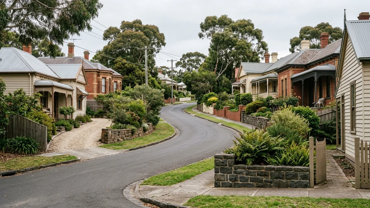
Bell Park's post-war housing and renewed lots can leave narrow machine routes and ageing boundary walls, making access widths, underground services and neighbour protection practical scope items.
Start with the wall system
Bell Park retaining-wall projects often begin with an ageing boundary wall on a post-war lot that has since gained sheds, driveways, extensions or renewed fencing. The wall's original loading and drainage may no longer match the site around it. Record the complete run, retained levels, upper-ground uses and additions before deciding that a visible crack or rotten sleeper can be treated locally.
Map the approach from Anakie Road, Midland Highway or Separation Street, then measure the private access and every turning point. Show meters, overhead lines and pits, but do not infer buried routes from surface clues alone. If adjoining access is needed, identify that as a permission and sequencing issue in the quote rather than assuming informal access will be available.
Settle these before the quote
Photograph fence, wall, sheds, trees and paving in one sequence. Separate ownership and title questions from the physical observation so each is resolved through appropriate records.
A replacement post may require excavation around old concrete and services. Ask whether the adjoining sleepers, drainage and footing condition make the proposed local repair durable.
Noise, dust, temporary fencing, pets, children and daily access can shape the method. Include practical site controls instead of treating them as unpriced courtesy items.
About Bell Park
From Bell Park Sports Club and Bell Park Plaza to Hume Reserve, local routes help explain delivery and neighbourhood context. The wall itself still needs measured levels, loading and water observations.
Bell Park Sports Club, Bell Park Plaza and Hume Reserve sit among an established network of homes reached from Anakie Road, Midland Highway and Separation Street. Within that network, lot access and wall history vary greatly. Some projects can receive small machinery directly; others need hand work through a narrow side path. A responsible scope does not attach a standard method to Bell Park. It uses measurements, photographs and service information to define demolition, temporary stability, foundations, drainage and reinstatement. It also identifies when a boundary survey, engineering or building-permit advice must precede final construction pricing.
Field record
Use long views along the wall to show cumulative rotation that a close-up may hide. Compare the top and base line without standing in a fall zone.
Attach available service plans and mark the planned excavation corridor for formal locating before work starts.
List lawn, paving, garden beds, irrigation and fences affected by access. State which reinstatement is included and to what finish.
Why this process helps
The whole boundary system is reviewed before a local repair is recommended.
Resident access, dust control and reinstatement are treated as scope, not afterthoughts.
Service, title and permit questions are assigned to evidence rather than resolved by assumption.
Compare the project path
Prepare the handover
Send one photograph along the wall, one from each level and close-ups of posts, sleepers, joints and outlets. Include maximum height, length, the narrowest access width and the distance to sheds, slabs or driveways. Note any fence work and who uses the surrounding space each day. If the wall has moved, say when it was first noticed and whether the change appears progressive without claiming a cause.
Prepare a Bell Park wall brief
Bring the wall, water and access details together
Your measurements, photographs and records help the right assessment questions surface early.