Map changing height
Use several measurements along a sloping boundary. The highest retained section, not the average, can control design and permit questions.
Bell Post Hill · 3215
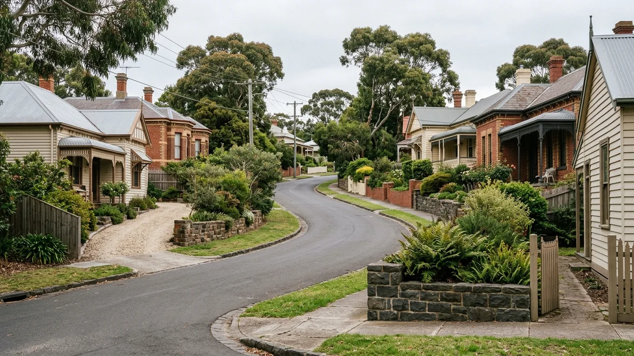
Bell Post Hill's elevated streets and established yards create recurring terraces and boundary level changes where footing depth, wall rotation and controlled drainage deserve close attention.
Start with the wall system
Bell Post Hill's elevated streets create recurring terraces and boundary level changes around established homes. A wall that appears small from the lower garden may retain more ground at another point or sit below a driveway. Documenting the full profile, water path and wall movement helps decide whether repair, replacement or redesign should be explored.
Show how the property is approached from Anakie Road, Rollins Road or Cox Road and where materials can be stored without loading the wall edge. Measure retained height at both ends and changes between them. Note vehicles, sheds and fences above, plus any outlets, staining or erosion below the wall.
Settle these before the quote
Use several measurements along a sloping boundary. The highest retained section, not the average, can control design and permit questions.
Post rotation, bulging, opened joints and crest settlement tell different parts of the condition story. Record their positions on a simple plan.
Material stockpiles and machinery can add temporary surcharge. The construction plan should identify safe working and storage locations.
About Bell Post Hill
From Geelong Ring Road and Bell Post Shopping Centre to Myers Reserve, local routes help explain delivery and neighbourhood context. The wall itself still needs measured levels, loading and water observations.
The Geelong Ring Road, Bell Post Shopping Centre and Myers Reserve provide broad orientation around Bell Post Hill. Individual lots reached from Anakie Road, Rollins Road and Cox Road still differ in grade, fill and working room. The correct response is not a suburb-wide structural claim but a consistent assessment method. Measure the retained profile, locate upper loads, trace surface and subsoil water, and establish the title and service constraints. Where an old wall is moving, add a safe demolition and temporary-ground sequence. That evidence gives designers and contractors a common basis and makes omissions in a short quote easier to see.
Field record
Take a view parallel to the wall to reveal lean and waviness, while keeping clear of any unstable face.
Record vehicle parking, bins, sheds, pools and planned works on the retained ground rather than treating it as empty garden.
Photograph pipe ends, silt, roots and downstream erosion so cleaning, renewal and legal connection can be scoped.
Why this process helps
The highest and most heavily loaded sections receive attention instead of an average dimension.
Construction surcharge and temporary stability are included in planning.
Movement evidence is recorded calmly with an appropriate safety boundary.
Compare the project path
Prepare the handover
Provide end views, a long view along the face and photographs from the retained side where safe. Include heights at several points, total length, nearby loads and the intended access route. Say whether movement is new, seasonal or only recently noticed. Attach earlier repair records if held. For rapid or severe change, stay away from the wall and arrange urgent property-specific assessment.
Prepare a Bell Post Hill wall brief
Bring the wall, water and access details together
Your measurements, photographs and records help the right assessment questions surface early.